Studio: The Ground Map Panel
Description
The Ground Map panel can display the positions and orbital tracks of spacecraft and ground stations over the simulation time. It is configured by default and can be used to highlight specific orbits and positions between objects. This guide will explain how to use this panel and the controls available for tracking orbits.
Adding a Map
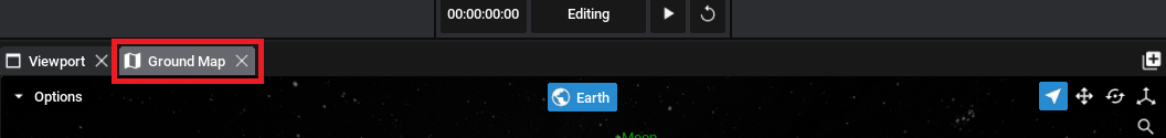
To view the Ground Map, click on the panel icon next to the Viewport (or add it to one of the widgets using the plus icon). The map can be added to any location and will display the selected spacecraft’s position.
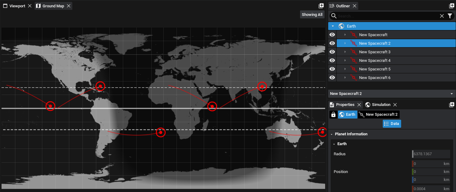
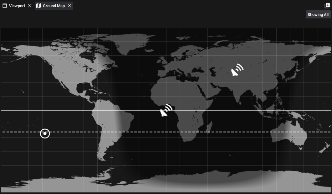
When opened, an empty map will be shown, most likely of the Earth. Select a spacecraft (or create one if one does not already exist), and then navigate back to the map. This will display a small icon on the map that is located at the geodetic coordinates of the spacecraft. It will be shown whilst the spacecraft (or any component attached to the spacecraft) is selected in the outliner.
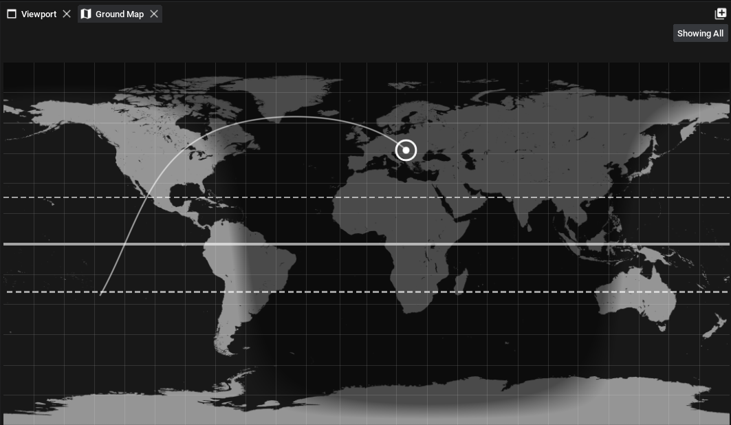
The map will show the orbit path of the spacecraft up until that time in the simulation by rendering a line trailing the spacecraft icon. This will be displayed for all spacecraft selected and will show the path of the spacecraft over the simulation.
Orbit Prediction
When a specific spacecraft is selected (and the Showing Selected button in the top-right is enabled), the ground map will draw an orbit track. The orbit track will plot the estimated location of the spacecraft over the next 90 minutes of simulation time.
Note
The expected location of the spacecraft will be relatively accurate on the map but will deviate from the prediction after longer amounts of time. This orbit prediction tool is only an estimate and should not be used for accurate positions.
Constellations
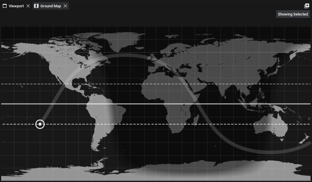
If multiple spacecraft exist, either in a constellation or on their own, all spacecraft can be drawn to the map. However, only one spacecraft can have its orbit plot drawn at any one time. This is done to reduce the computation time of the prediction as it is made every time the graph widget is updated and can be expensive with multiple orbits. The map will automatically pick up all available spacecraft and by flipping between the Showing Selected button, it will display the locations of all spacecraft on the map.
Ground Stations
If any ground stations are added to the level, they will automatically be added to the map as well. Only the position of the ground station on the geodetic location will be shown.
Note
Currently, ground visibility plots have not been implemented in Nominal Studio.
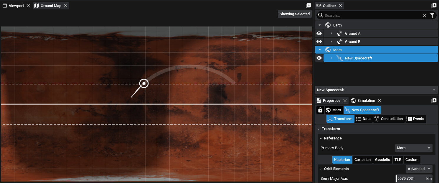
Multiple Planets
The ground map will display the locations of spacecraft and ground stations on the planet that is currently selected. If there are spacecraft orbiting multiple planets, the ground map will display the plot relative to the planet that is selected. As an example, for a spacecraft that is orbiting Mars, the plot may look a little different.