Editor: Cesium Tutorial
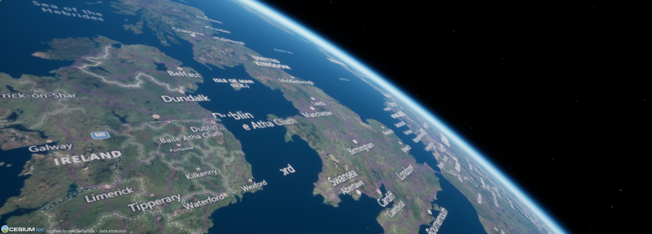
Cesium is a geospatial and satellite imagery plugin that enables realistic satellite imagery to be appended to the Earth model within Editor. This is a custom plugin and is handled by Cesium Ion. Additionally, the WGS84 Earth terrain model is implemented when using the Cesium earth, producing terrain and height maps that can be useful for accurate RADAR modelling. This tutorial will show how to create an account and implement the Cesium Earth model within Nominal Editor.
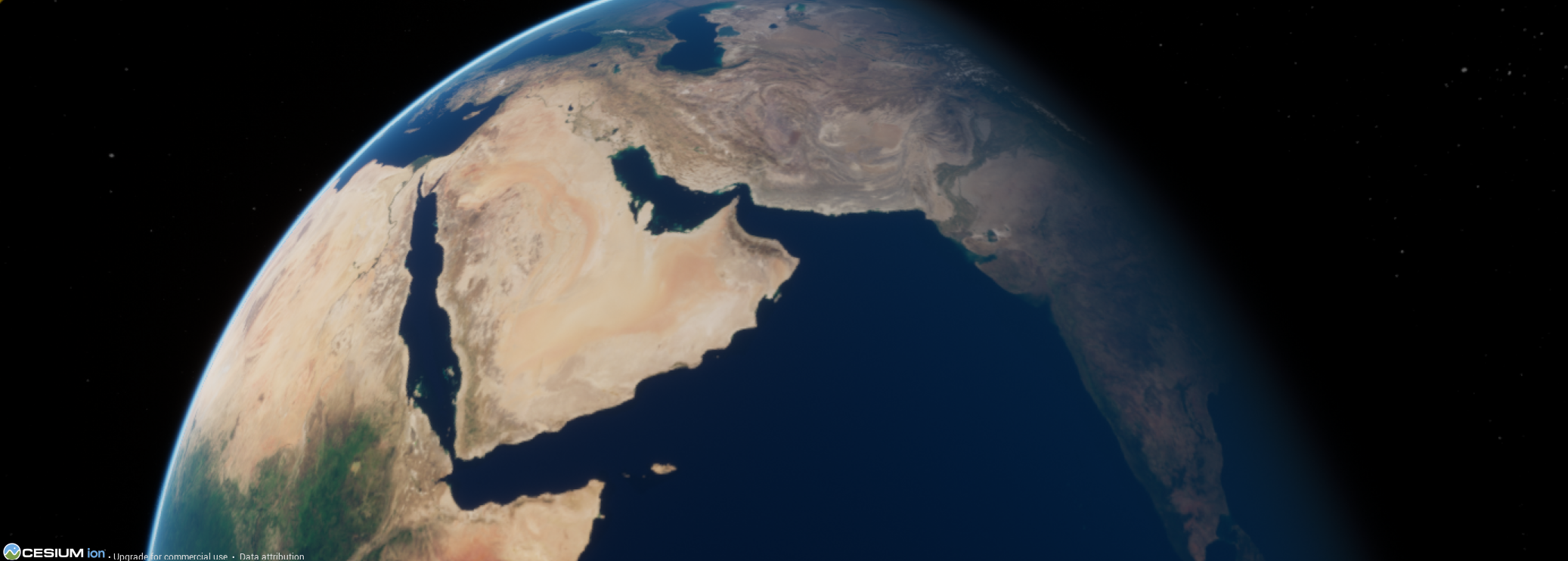
Table of Contents
Minimum Requirements
Nominal Editor must be installed before this tutorial commences. Information about how to install Nominal Editor can be found in the document below.
Cesium accounts may not be free to use. Data generated by Cesium is handled by Cesium Ion and is not provided as part of the Nominal packages.
Key Learnings
- Cesium: Understand how to create a Cesium account, add the Cesium Earth model to the simulation and ensure the geospatial data is working as intended.
- Custom Data: Retrieve custom height-map data based on geodetic coordinates from the Cesium WGS84 geoid.